Shared:Group 1
GROUP 1
Milou van Min | Lars van Vianen | Marco Galli
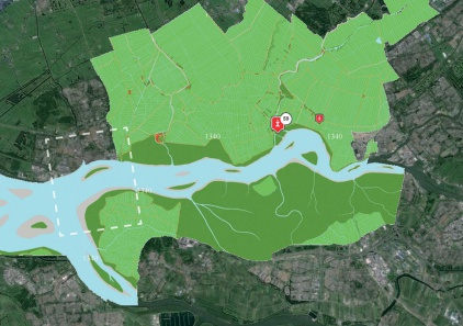
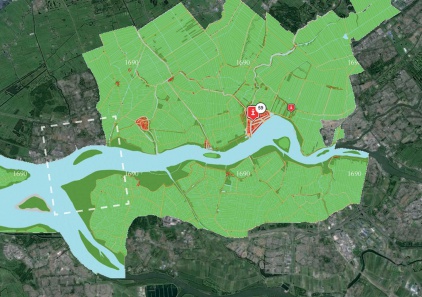
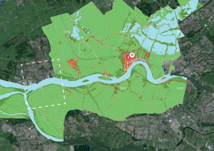
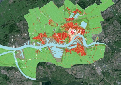
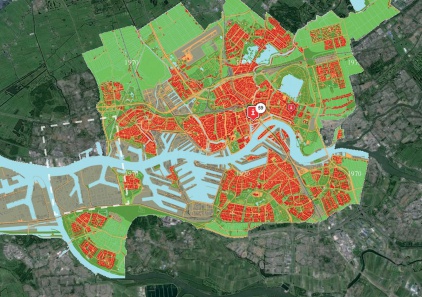
PAST
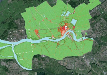
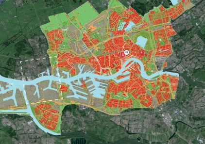
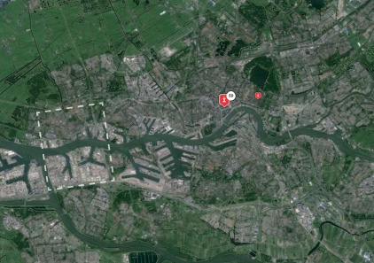
PRESENT
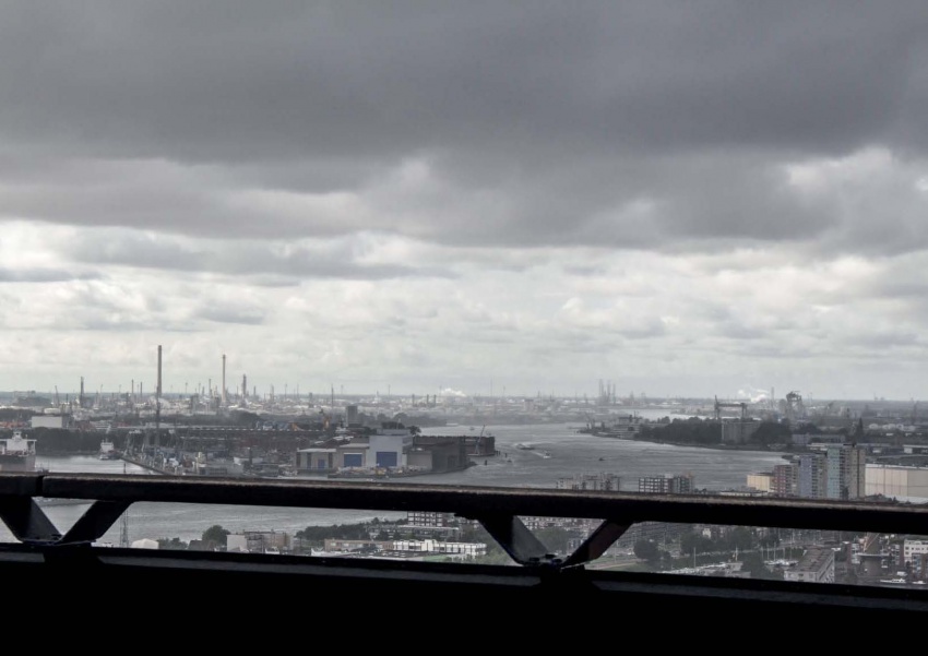
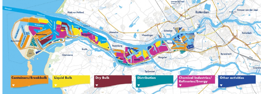
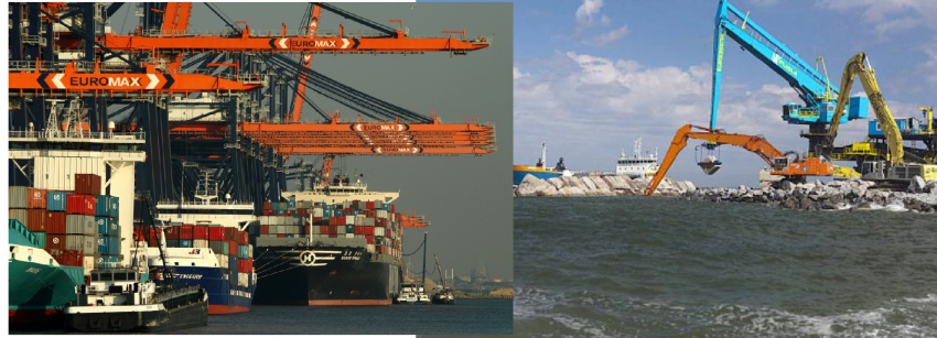
The port of Rotterdam is the engine of the Dutch economy
> total port area of 10,500 ha = 16 000 football fields
> 90 000 people work in the port
> 300,000 people work in total and for the port
> handling 430 million tons, 11 million containers
> the largest port in Europe; No. 5 in the world
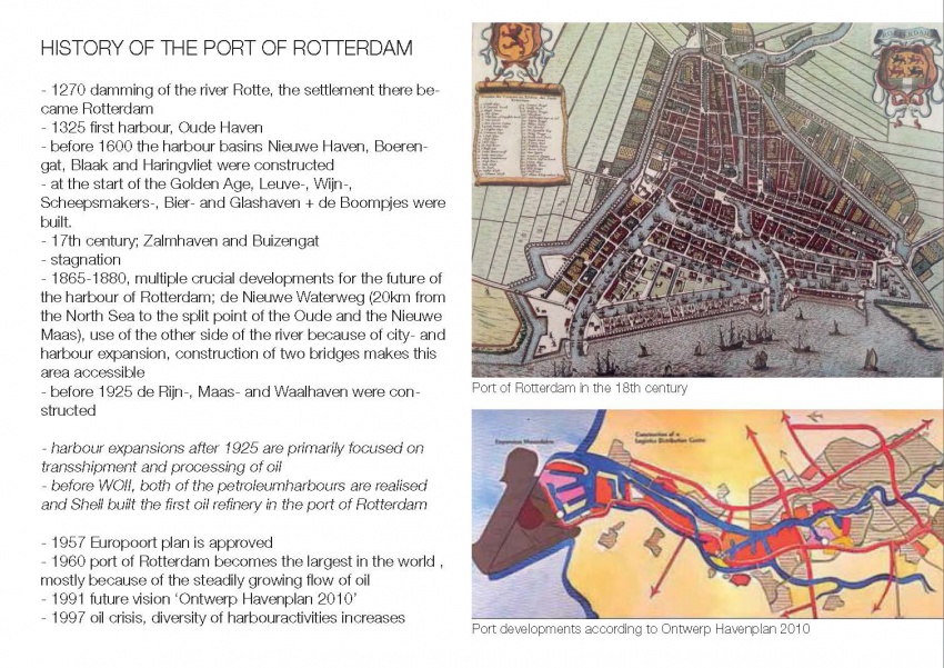
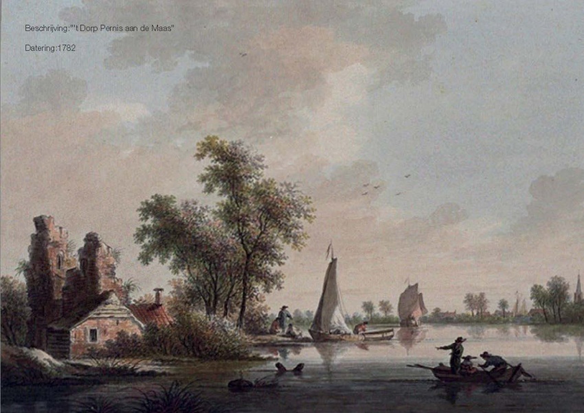
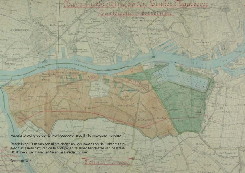
Since the inception of Rotterdam, in the Middle Ages had a port with a transfer function
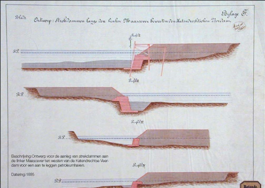
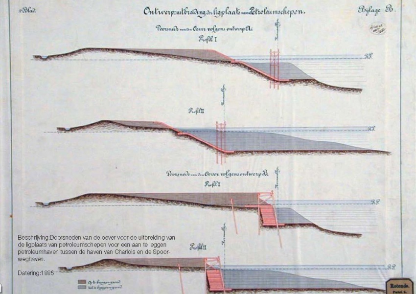
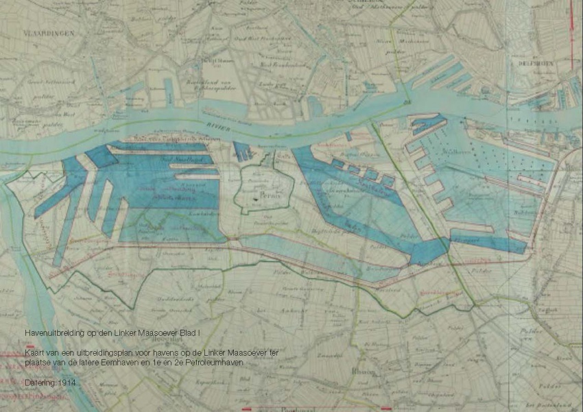
The High Street, part of Schielands High seafront, divided Rotterdam in a country town and a water city. In the city of waters the first ports were built, including the Old Port, the Haringvliet, Leuvehaven.
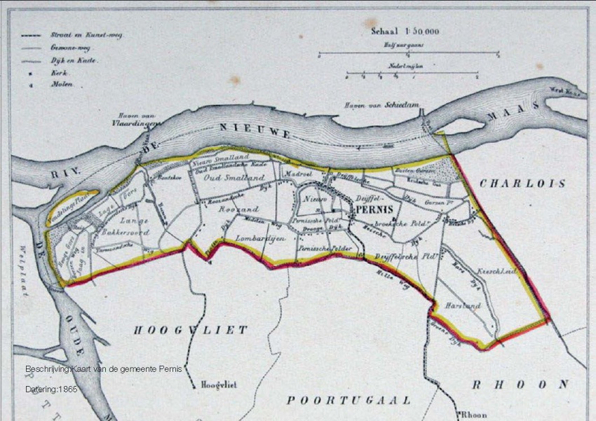
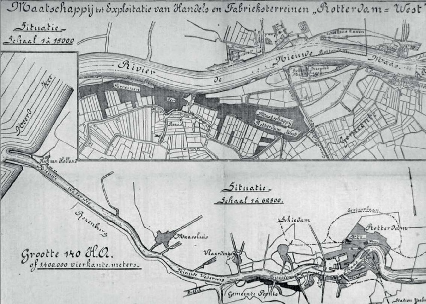
During the 19th century, Rotterdam was less accessible. Therefore, the New Waterway was dug so that Rotterdam had a direct connection to the sea.
FUTURE
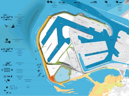
Maasvlakte 2 Landscape Plan
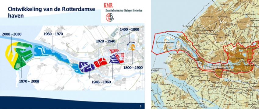
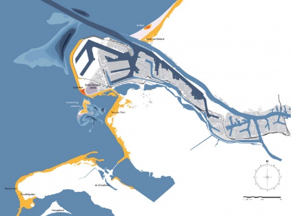
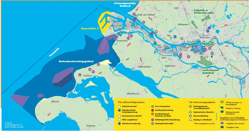
The Port of Rotterdam has planned a westward extension of its harbor area to provide for future growth. The land reclamation project called Tweede Maasvlakte (MV2 or “Second Maas Mudflats” - there is already a first Maasvlakte) is intended to provide space for industrial activities such as container transhipment, chemicals and distribution. The total area involved is about 2,000 hectares, of which 1,000 hectares nett is issuable for harbor, industrial and commercial activities.
Besides being an extension of the Port of Rotterdam, the MV2 plan has a coastal extension component. New sand dunes and dykes will be required to assure the safety of the land reclaimed form the North Sea. The target for the start of land reclamation and the sand excavation which will make it possible is in 2008.
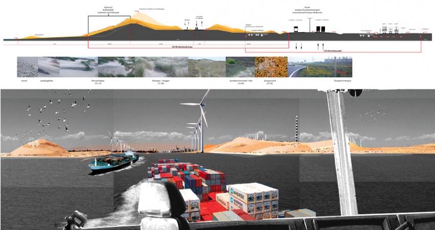
The Port of Rotterdam intends to combine the creation of land for new harbor activities on MV2 with space for recreation and new nature areas. H+N+S was invited to prepare a plan for this “harbor landscape” in 2007. There are three aspect of the harbor which affect the design and landscaping of MV2. Firstly, there is the technical reality of the harbor industry; secondly, a harbor for nature; and thirdly, an accessible, attractive harbor for the public. In the master landscape plan for MV2, H+N+S has combined these three “realms” or “themes” into an appealing concept, and has also worked out detailed landscaping designs. The outcome is a sturdy, large-scaled landscape with long lines of sight, robust viaducts, a large beach for high-capacity leisure use and a “super lookout dune”. There is also room for a bird valley, moist dune valleys and bird-spotting sites.
The Happy Isles Consortium
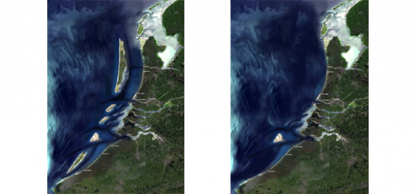
The Happy Isles Consortium - West 8 and Svasek– drew up a plan which combines an agenda for safety, and the necessity of new land. The participants offer the metropolis a new perspective by proposing a series of new, sprayed-up sand islands off the coast of Belgium and The Netherlands. These dune islands, measuring up to 150.000 hectares in size, will break the increasing waves. Also, thanks to ingenious engineering of the gullies, the off-shore under tow will cause the sea level to drop during north-western storms.
On the biggest island, Hollandsoog, 150.000-200.000 ha. in size, a broad representation of the community will be able to obtain a lease. The economy of this island will be based on leisure and nature experience; a happy island for family, lonely-hearts, poets and festivals.
